 |
|
 |
• |
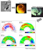
Developed an event-driven radar operations protocol for CME events
|
|
• |
Tests geoeffectiveness of solar storms
|
|
• |
Study Ionosphere-Magnetosphere coupling
|
|
• |
Analyze, display and archive radar data in real time for SPARC
|
|
• |
Electronic workshop for solar-terrestrial data during storm events
|
|
|
|
|
|
|
|
|
 |
|
 |
• |
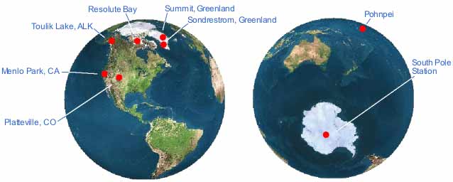
Designated as a primary field site within the Network for Detection of Stratospheric Change (NDSC)
– Lidar instruments
– DMI instrumentation
|
|
• |
DMI stratospheric ozone monitoring and Lidar polar stratospheric cloud observations
|
|
• |
Lidar middle atmosphere temperature
|
|
• |
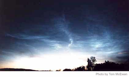
Lidar noctilucent cloud detections
|
|
• |
Greenland ice cap mass balance determined by GPS and gravity measurements
|
|
|
|
|
|
|
|
|
 |
|
 |
• |
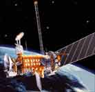
ISTP mission, radar operations and M-I science
|
|
• |
FAST mission, radar operations and auroral science
|
|
• |
TIMED mission, radar operations and lower ITM science
|
|
• |
GEC mission, planning based on radar results of ionospheric electrodynamics
|
|
• |
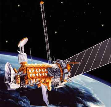
ESA CLUSTER mission, radar operations and cusp science
|
|
|
• |
DMI / DSRI Oersted mission, radar operations and electrodynamics science
|
|
|
• |
DMSP, radar operations for calibration and validation
|
|
|
• |
GFZ CHAMP mission, radar operations and cusp science
|
|
|
|
|
|
|
|
|
 |
|
 |
• |
IT solution to difficulties in retrieving, controlling and polling instruments at remote field sites - Sondrestrom facility testbed - because of low or unreliable Internet connections
|
|
• |
Adaptable and scaleable IT architecture enabling more field sites and instruments
|
|
• |
Broadened utility of transport system leading to new applications, such as web data mining for site’s space weather alert protocol
|
|
BACK TO TOP |
|
|
|
|
|
|
|
|
|
|