
The Sondrestrom Research Facility is now closed and not collecting new data; however, all historical data is available and now being maintained by the AMISR facility. Please contact the AMISR team amisr.com/amisr/requests for assistance accessing and interpreting data.

Sondrestrom ceased operations in May 2018. The information on this website has not been updated since May 2018.


• Real time data from instruments at Sondrestrom
• ISR operations
• Library of plots
• Distributed Madrigal database

WD2016

SITE NEWS ARCHIVES

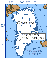
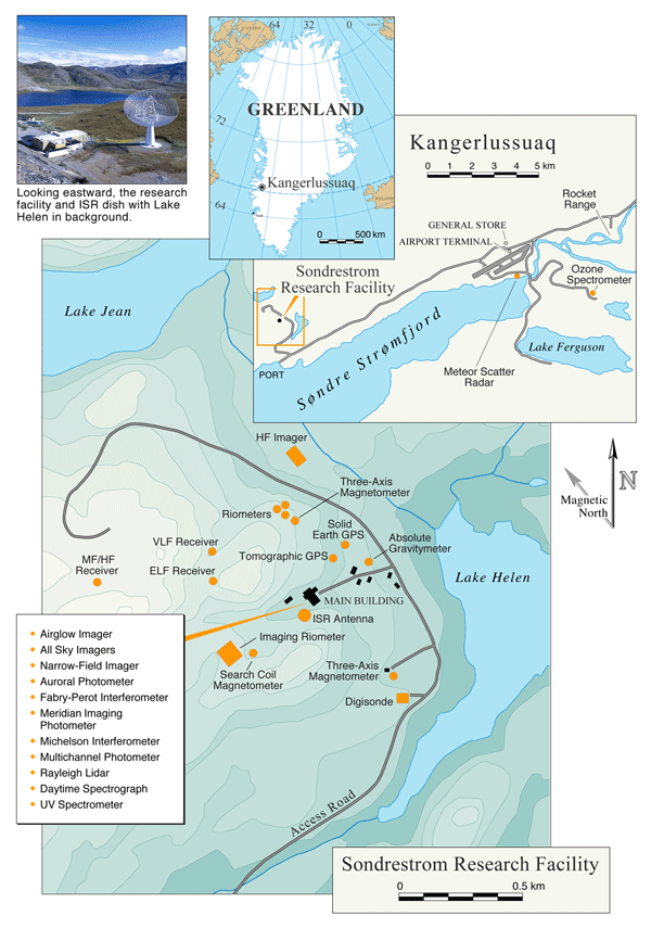
SONDRESTROM COORDINATES
Elevation: 219 m
Geographic Latitude:
66° 59'12"(66.9873° N)

Geographic Longitude:
309° 03'02"(309.0552° E)

Geomagnetic Latitude:
72.35° Magnetic Declination: 321°
Magnetic Dip: 80.4°


The Sondrestrom Research Facility is operated by the Center for Geospace Studies at SRI International under the auspices of the National Science Foundation.